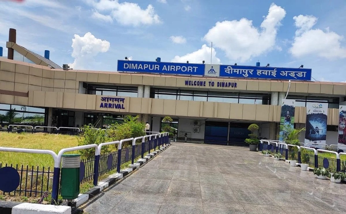
Repeated waterlogging at Dimapur Airport during heavy monsoon spells has raised concerns over the long-term suitability of the airport site and its ability to meet Nagaland’s future aviation requirements.
The recurring disruption has affected airport operations despite interventions by the Airports Authority of India (AAI) and the state Water Resources department. The issue has increasingly emerged as more than a seasonal drainage problem, with the location and topography of the airport presenting significant challenges to both its present operations and future expansion.
Dimapur Airport is located in a low-lying area near the Chathe River and faces drainage constraints from surrounding areas. Water from areas around the former Sugar Mill village and the North East Zone Cultural Centre (NEZCC) flows towards the airport. Blocked nullahs, garbage accumulation, encroachment and restricted drainage channels further aggravate the situation during periods of intense rainfall.
The raised embankment of National Highway 29 has also been identified as a contributing factor. The embankment can obstruct the natural movement of water, resulting in water accumulating around the airport during heavy rain.
The impact on flight operations can be significant. When water on the runway rises to around 60 millimetres, compared with an operational safety threshold of about 3 millimetres, flights may have to be cancelled. The recurring problem has therefore raised questions about the reliability of the airport during periods of intense monsoon rainfall.
The airport also faces physical constraints on expansion. Residential structures and a cemetery are located close to the security perimeter, leaving limited space for creating additional buffer zones or expanding the facility. The existing runway is around 7,513 feet long and 147 feet wide, which could pose limitations if the airport is expected to handle larger aircraft and significantly higher traffic in the future.
For Nagaland to develop Dimapur as a major regional or international aviation gateway, a substantially longer and wider runway may eventually be required. A runway in the range of 8,000 to 9,000 feet in length and up to 200 feet in width has been suggested as a possible future requirement. However, such expansion would depend heavily on the availability of land and the surrounding terrain.
The airport currently handles around 3.37 lakh passengers annually, equivalent to roughly 900 passenger movements a day. Recent AAI-reported figures also showed that on August 9, 2026, the airport handled three arrivals and three departures, with 1,102 passengers.
The figures indicate that air connectivity remains important to Nagaland and that present traffic levels should not necessarily be treated as a measure of future demand. With economic activity, tourism and business travel expected to grow, the state will need aviation infrastructure capable of accommodating higher passenger and aircraft movements.
Land availability remains one of the key issues. The Assam Rifles has handed over 18.8 acres to the AAI for Phase I of the Dimapur Airport expansion. A further roughly 129 acres is proposed to be transferred for Phase II, subject to approval from the competent authorities.
However, land alone may not resolve the airport’s longer-term limitations. The airport is surrounded by hilly terrain on several sides, particularly towards the south-east, north-east and north-west. The terrain is especially important on the Runway 30 side and has contributed to the airport’s largely unidirectional operation.
According to an official source, a recent court record concerning the airport expansion states that the airport is presently operated essentially as a unidirectional runway because of the hilly terrain on the Runway 30 side, with aircraft landing from the Runway 12 end.
A south-west to north-east runway alignment could potentially provide a more suitable flight corridor by keeping the hills largely to the sides rather than directly along aircraft approach and departure paths. However, achieving such an alignment at the existing location would require considerable land and favourable terrain conditions, both of which could be difficult to secure.
The repeated flooding therefore points to a larger infrastructure question for Nagaland. Drainage improvements, desilting and flood-control measures remain necessary to reduce immediate disruption, but they may not address the geographical constraints that affect the airport’s long-term expansion and operational reliability.
With the state seeking stronger air connectivity and greater economic and tourism activity, the question now is whether continued investment at the existing site can provide a sufficiently reliable and expandable airport for the coming decades, or whether Nagaland should begin planning for an alternative long-term aviation infrastructure strategy.